Landscape Response to Seismic & Hydrologic Forcings
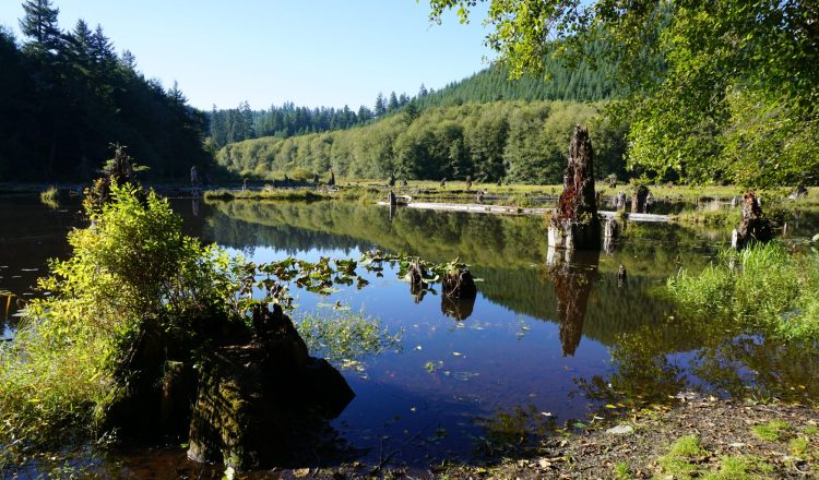
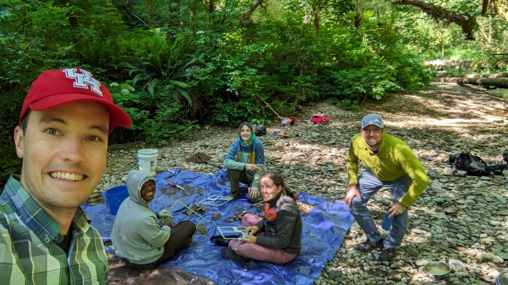
Earthquakes present a wide range of hazards including shaking, liquefaction, and tsunamis. In many landscapes, including along subduction zones, landslides are one of the more significant hazards posed by earthquakes. We aim to constrain the dominant triggering mechanisms of bedrock landslides in subduction zone landscapes, quantify the effects of vegetation on bedrock slope stability during earthquakes, and map expected coastline coseismic subsidence from landscape morphology. We use a combination of remote sensing, modeling, and field data collection (including ghost forest dendrochronology!) to address these problems.
Relevant Publications (see CV or Publications page for full citation)
Grant, Struble, LaHusen (2022, Geomorphology); Struble et al. (2021, JGR: Earth Surface); Wetherell et al. (2021, ESPL); LaHusen et al. (2020, Science Advances); Struble et al. (2020, GSA Bulletin); Perkins et al. (2018, Eos).
Debris Flows and Landscape Evolution

Landscapes adjust their morphology to conform to tectonic and climatic conditions (uplift and erosion) through a variety of surface processes. Several mathematical descriptions of fluvial and hillslope (geomorphic process laws) have proved useful for interpreting and modeling landscapes. However, we lack a process law for debris flows, which can be the dominant process for sculpting steep landscapes. We are working to constrain a possible debris flow process law that can be applied across landscapes (to date, we have worked in the San Gabriel Mountains, Oregon Coast Range, and Idaho Batholith), and we are delving into how debris-flow properties impact the encoding of climate and tectonics into steepland morphology.
Relevant Publications (see CV or Publications page for full citation)
Struble et al. (in revision, GRL); Struble, McGuire, McCoy, Barnhart, Marc (2023); McGuire, McCoy, Marc, Struble, Barnhart (2023).
Drainage Reorganization
Drainage basins grow and shrink in response to changing uplift and erosion rates. Basins can change shape abruptly (stream capture) or gradually (divide migration). We are working on new landscape metrics that can predict the direction and pace of divide migration, with particular attention paid to hillslope morphology (curvature asymmetry) and processes (including sediment input to channels). Our current projects focus on Dragon’s Back Pressure Ridge on the San Andreas Fault in south-central California, as well as the Oregon Coast Range, San Gabriel Mountains, and Ozark Plateau. We are also specifically pursuing the drainage reorganization history of the Cascadia forearc, emphasizing the longitudinal Willamette and Umpqua Rivers.
Relevant Publications (see CV or Publications page for full citation)
Robinson & Struble et al. (in revision); Balco, Hidy, Struble, and Roering (2024; Geochronology); Struble and Roering (2021; ESURF); Struble et al. (2021, GRL)
Hillslope Morphometry and Tectonics
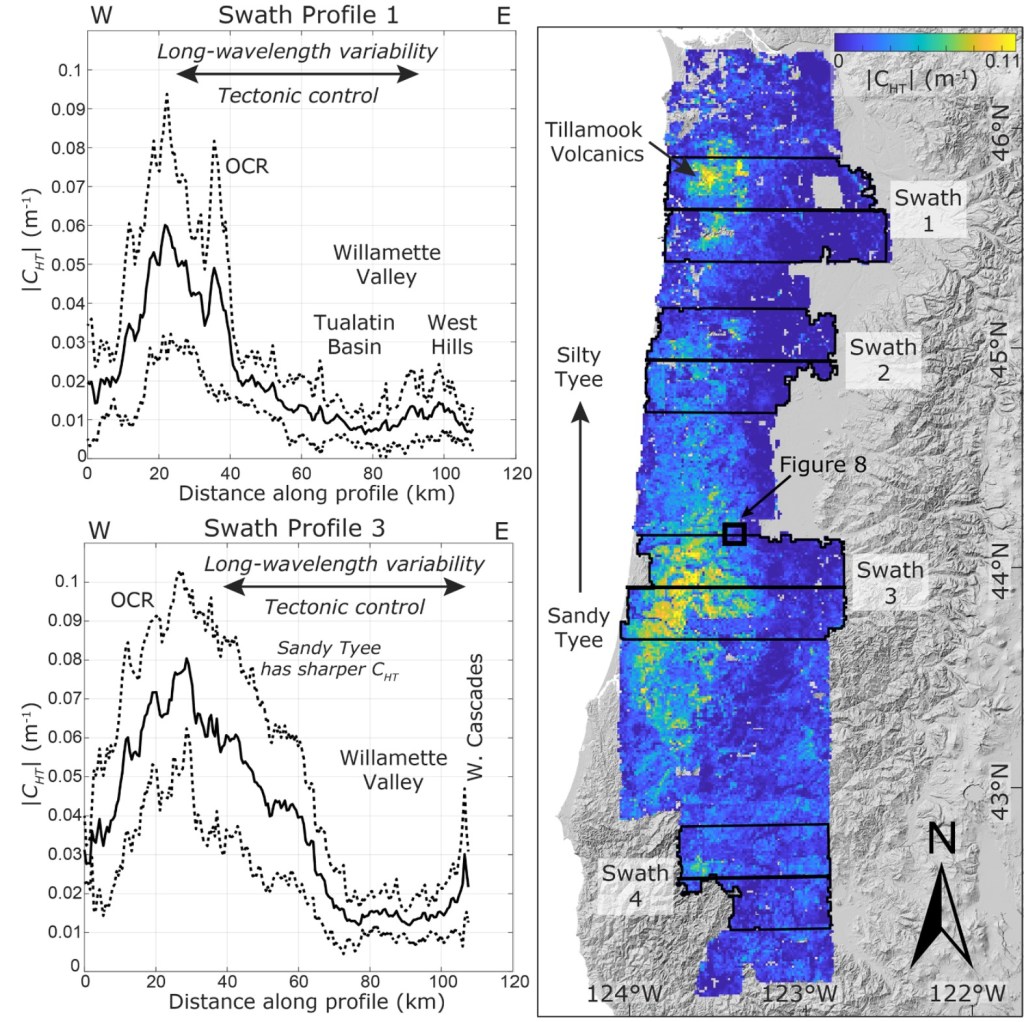
Hillslope morphology, including hilltop curvature, can be used to map the spatial distribution of uplift and erosion rates, quantify the effects of climate and lithology on landscape form, and even map soil organic carbon. We have been working to advance the use of hilltop curvature as a regional morphometric, largely through the use of continuous wavelet transforms, which allow for rapid curvature calculation compared to typical techniques. We have additionally used wavelet transforms to investigate how the scale dependence of different landforms, recorded by curvature, may predict divide migration direction and the tectonic processes that dictate drainage basin extent.
Relevant Publications (see CV or Publications page for full citation)
Struble et al., (2025; GRL); Struble, Clubb, Roering (2024; EPSL); Struble and Roering (2021, ESURF); Struble et al. (2021, GRL).
